Glimpse from Monemvasia Island


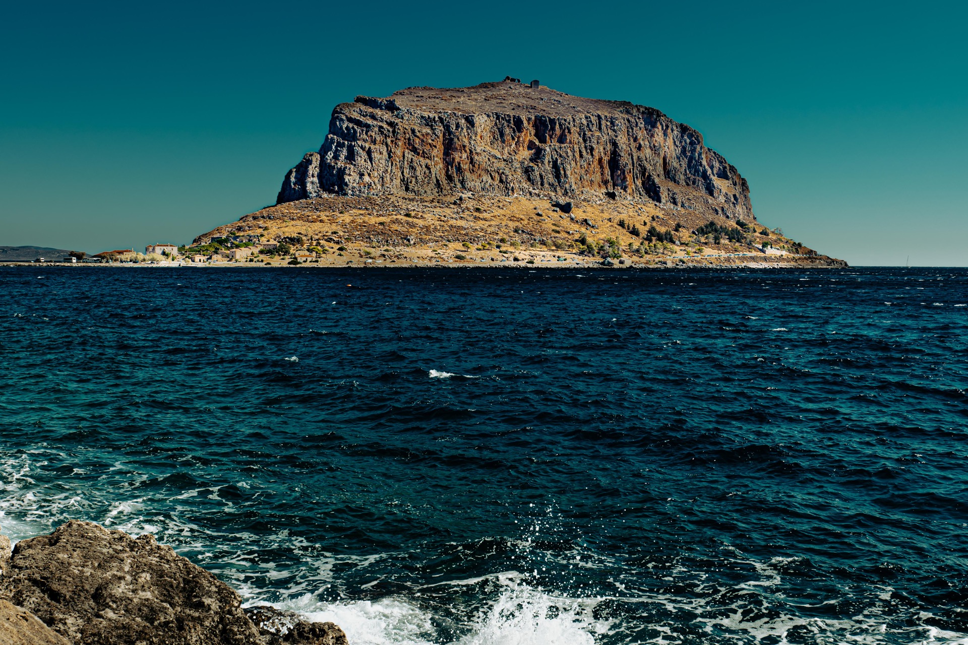
Monemvasia is an island, a town and a municipality in Laconia, Greece. The Lower Town is located on a small island off the east coast of the Peloponnese.
The rock is 1500 metres long, 600 metres wide at its widest point, and is almost 200 metres high. The top of the rock is flat, forming a sloping plateau surrounded by steep cliffs falling to the sea. There are two fortified settlements, invisible from the mainland - the Lower Town (7,500 square metres) and the Upper Town (120,000 square metres) situated on the plateau at the top of the rock.
During the Byzantine period, when its defences were completed, the town's geographically strategic position made it an ideal base for military operations. The Byzantine state declared it an administrative centre for the imperial lands in the Peloponnese.
Additionally, it was a religious centre and also functioned as a base for the Byzantine fleet's battles with the Arabs. The town flourished as a naval and merchant hub, resulting in the development of the Lower Town on the southeastern side of the rock, shortly after 900 AD.

Monemvasia Island
Photo: Knut Werner Lindeberg Alsén

Fortification at Monemvasia Island
Photo: Knut Werner Lindeberg Alsén

Agia Anna
Photo: Knut Werner Lindeberg Alsén

Photo: Knut Werner Lindeberg Alsén

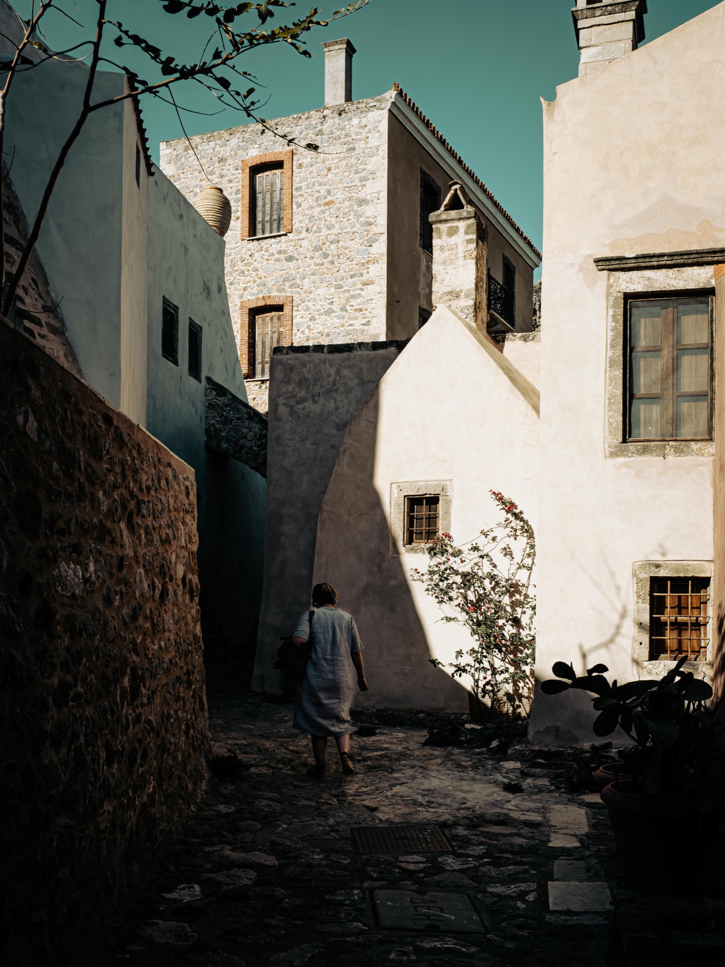
The Lower Town
Photo: Knut Werner Lindeberg Alsén

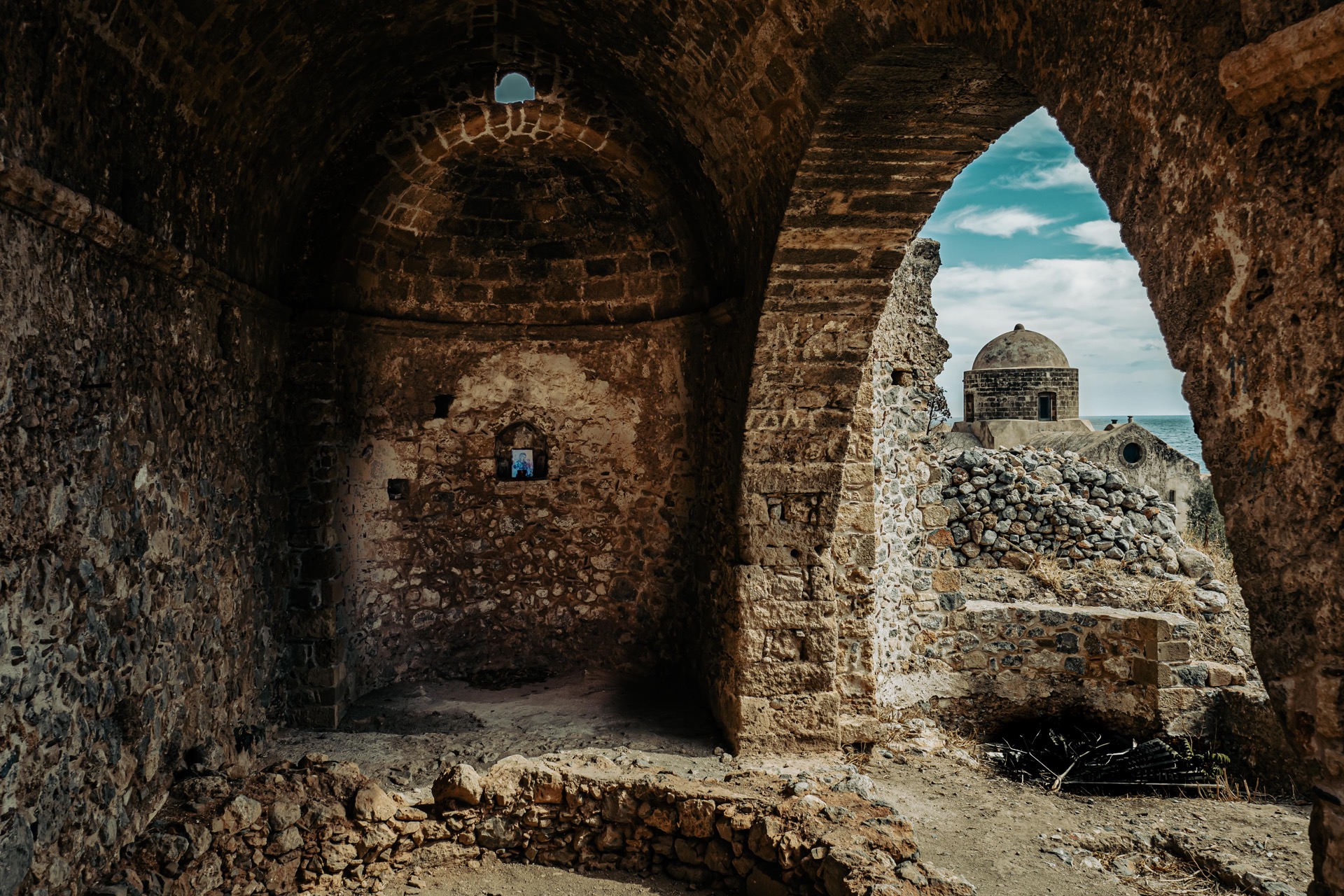
The Upper Town
Photo: Knut Werner Lindeberg Alsén

Church of Agia Sophia / Panagia Hodegetria
Photo: Knut Werner Lindeberg Alsén

Photo: Knut Werner Lindeberg Alsén
